
Major winter storm could drop a foot of snow Tuesday
By Adam Hocking
Editor
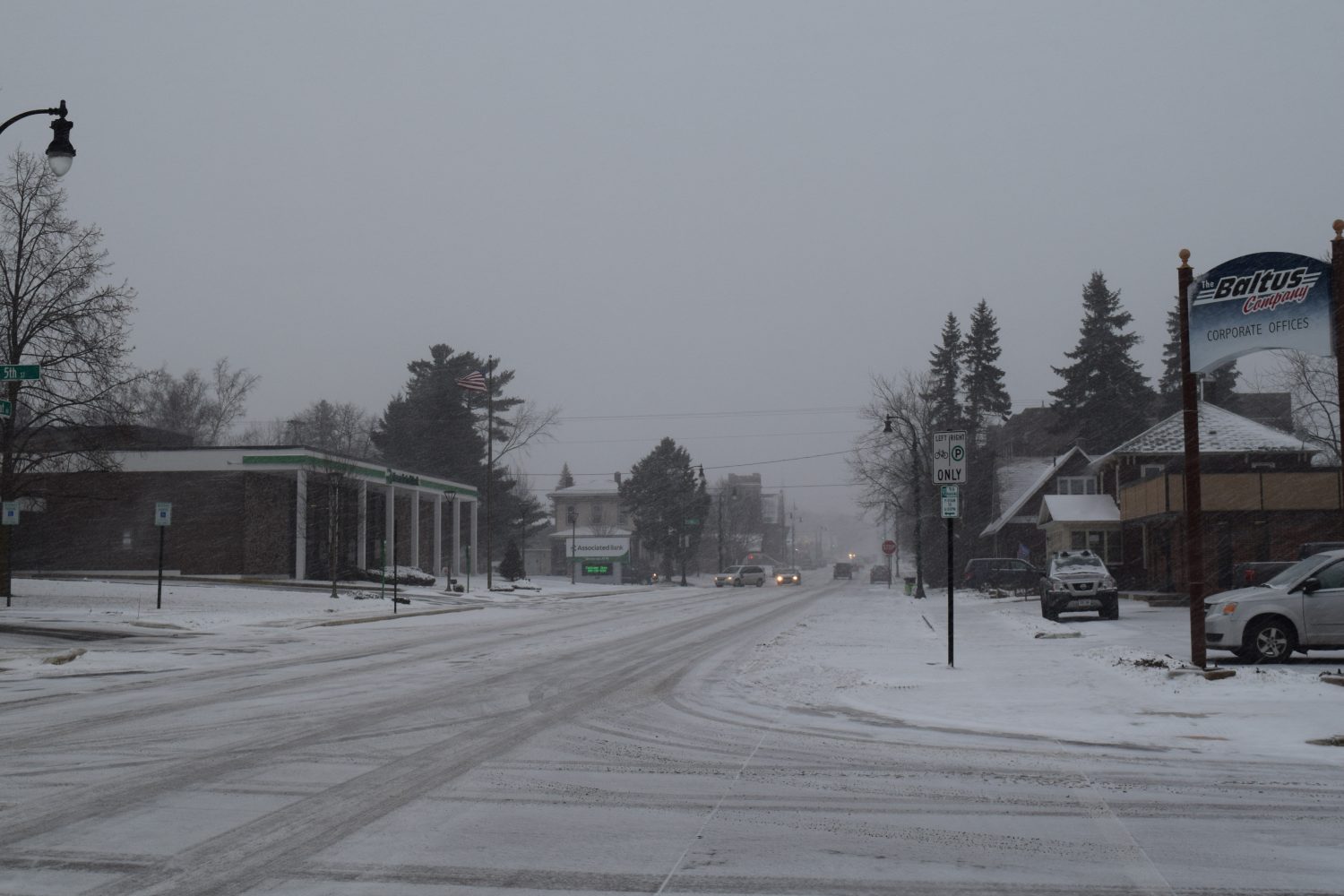
MARSHFIELD — The National Weather Service has issued a winter storm warning and a hazardous weather outlook for the Marshfield area as well as much of the central and northern parts of the state.
Snow is expected to begin accumulating in the “mid-morning on Tuesday” and a total of seven to 12 inches is anticipated.
“The snow will begin to taper off late Tuesday evening though periods of light snow and the blowing and drifting will continue overnight into Wednesday morning,” according to the National Weather Service.
12 p.m. to 8 p.m. are expected to be the heaviest periods of snowfall. Gusting winds combined with falling snow could compromise visibility as well. The winter storm worming is in effect from 9 a.m. Tuesday until 6 a.m. Wednesday.
The National Weather Service recommends that if individuals must travel, they keep water, food, and a flashlight in their vehicle. For the latest road conditions in Wisconsin, call 511.


Leave a reply
You must be logged in to post a comment.